Geo-Info
First usability tests of vario-scale maps
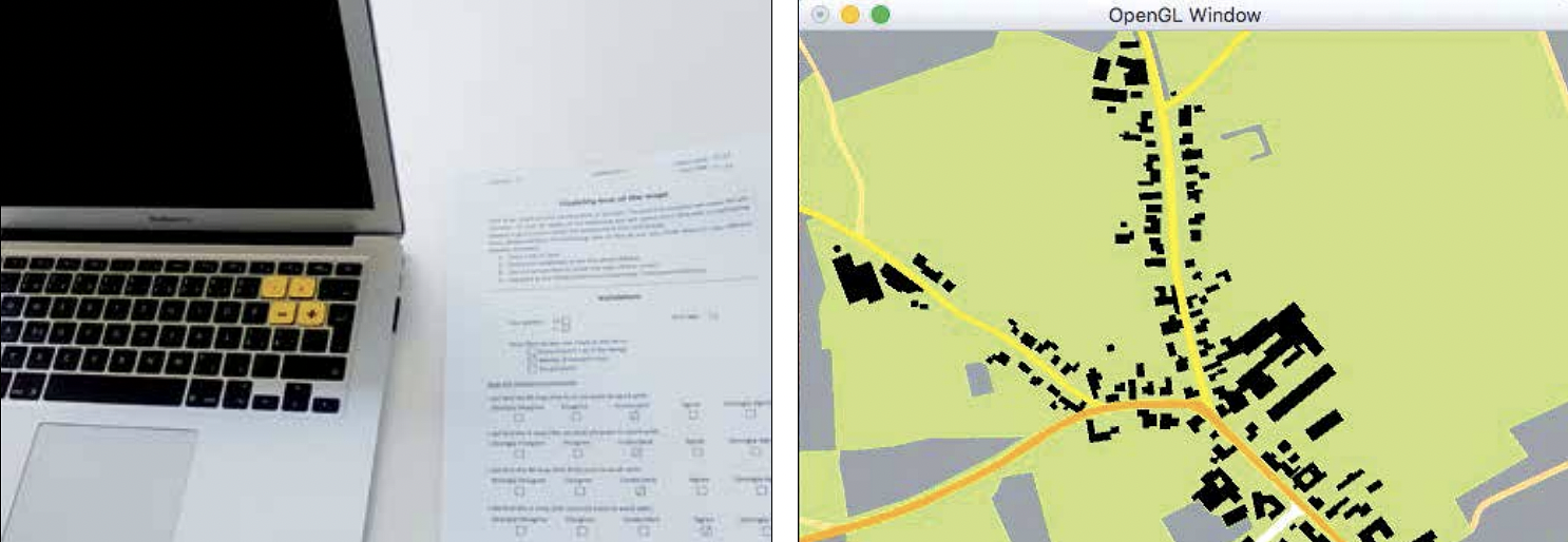
About five years ago, the concept of vario-scale geo-information was described in Geo-Info (Van Oosterom and Meijers, 2012). In this earlier article, the first truly gradual vario-scale structure was presented: a delta scale gives a delta in the map (and the smaller the delta scale, the smaller the delta map). In the past five years, a lot of R&D has been done to realize the concept of vario-scale geo-information: developing prototypes and testing with real data. In the framework of the Open Technology Program (OTP of STW, Stichting Technische Wetenschappen) project 11185 'Vario-scale geo-information', a lot of progress has been made in recent years. The most important results will be discussed in a series of concise articles.
More Information
Citation
BibTex
@article{bib:suba:2017,
    author       = { Suba, Radan and Driel, Mattijs and Meijers, Martijn and van Oosterom, Peter  and Eisemann, Elmar },
    title        = { First usability tests of vario-scale maps },
    journal      = { Geo-Info },
    year         = { 2017 },
    pages        = { 62--65 },
    url          = { https://publications.graphics.tudelft.nl/papers/358 },
}